Our Projects
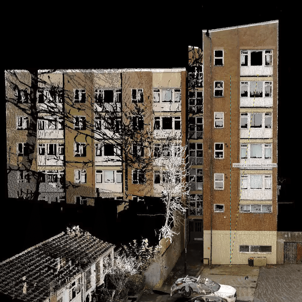
Rick Roberts Way
Virtuscan was appointed by Kier to capture the external façades of a residential property as part of a review of the cladding works. The project had a duration of one week on site and one month CAD works. The scope of works included a terrestrial laser scan of the external property, the production of 2D elevation drawings, a 3D Revit model on a grid, and the capture and delivery of a 360° photo tour.
The property consisted of four blocks of different heights, ranging from two storeys up to 14 storeys. Each block required Virtuscan’s team to capture the stairwells to ensure accurate heights could be found on each floor. In addition, the roofs of each block were also captured to provide a comprehensive point cloud.
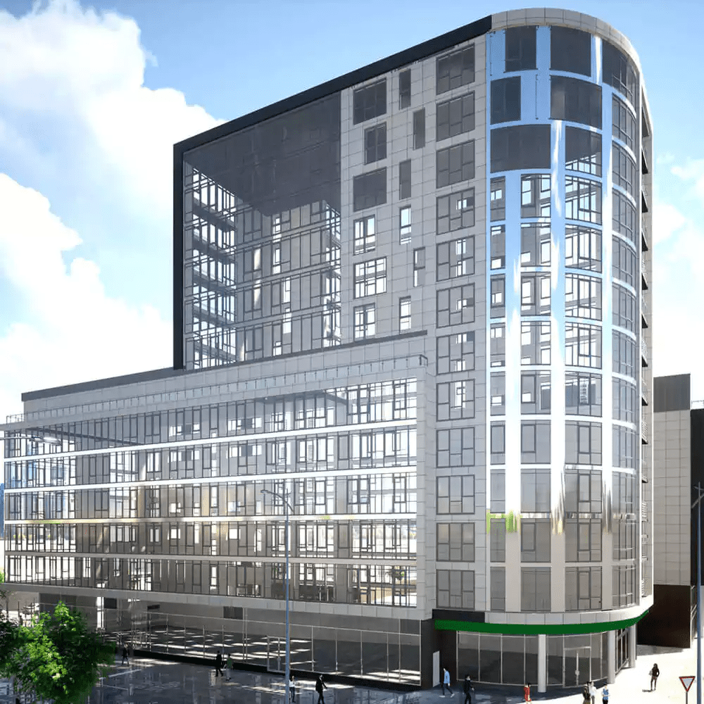
Using the data captured, Virtuscan produced 2D elevation drawings, a 3D model, rendered images and a 360° photo tour. The 2D elevation drawings provided a clear representation of the external façades of the property, while the 3D model allowed for a more detailed and interactive view of the property’s exterior. The rendered images provided a photorealistic view of the property, enabling Kier to assess the cladding works more accurately.
Some of our other projects:
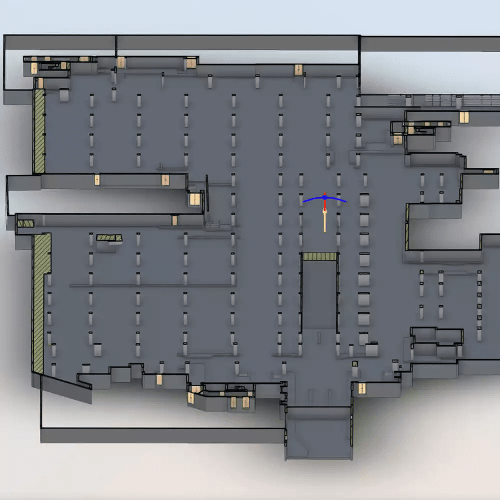
Westferry Circus Car Park
Virtuscan was commissioned by Kier to conduct a survey of a multi-level car park…
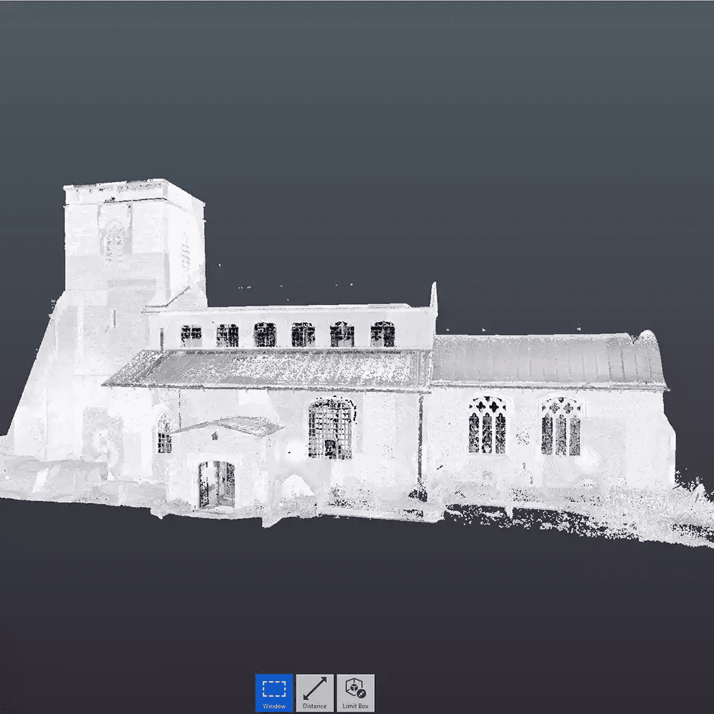
St Mary’s Church
Virtuscan, a leading provider of 3D laser scanning and measurement services, was recently instructed…
Rick Roberts Way
Virtuscan, a leading 3D laser scanning and measurement company, was recently appointed by Kier…
Block Height Survey
Virtuscan, a leading 3D laser scanning and measurement company, was recently contracted by a…
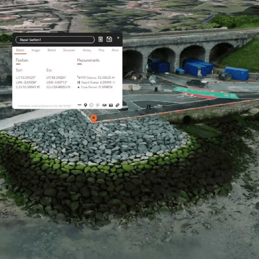
Colwyn Bay
Virtuscan was approached by Gunite Infrastructure on behalf of One Housing to survey the…