FAQ’s

To answer your questions regarding our digital scanning and Virtuscan as a whole and then look no further. At Virtuscan we believe it is important that you understand everything about what we do. To see the common questions people ask us, and our answers, look to our frequently asked questions. These frequently asked questions are the questions people ask us most often, and our answers are here to ease any lingering doubts you may have. Our answers will clear any lingering questions you have regarding Virtuscan and the various services we offer.
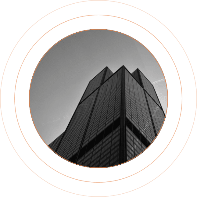
Virtusan Target BUilding

What services does Virtuscan offer?

Virtuscan is a 3D Scanning and Photo Tour service that specialises in Geometric Data Capture. Professionally-minded, Virtuscan uses innovative technologies to provide a cutting edge service. This includes the use of terrestrial laser scanners, drones, cameras and traditional survey equipment.

You can learn more about each of these by exploring our service pages. Alternatively, give us a call and we’ll be happy to help.


A point cloud is a collection of points shown in a 3D space. These are collected in a range of methods from terrestrial laser scanning (highly accurate), SLAM scanning (for speed and portability) or photogrammetry (allowing collection from a range of camera sources). A point cloud can be colourised or left in greyscale and provides a 3D environment that can be used to view a structure.


We provide point clouds in a range of outputs ready to import into specialist software. We can provide the point cloud in all major file types from E57 to RCS/RCP allowing quick progression of your project for viewing, modelling or drawing purposes. We also work with several online software providers to enable viewing point clouds over any device with an internet connection at a fraction of the cost of a full software package that also requires powerful PCs to operate.


A 3D model is a much smaller file than a point cloud, and there is far more software available to utilise it, reducing the need for specialist computers. CAD specialists can also further adapt it to show planned changes such as extensions and redesigns, providing an effective representation of the finished structure. It is possible to further update a model to create an information-rich representation of the structure, such as material and installation information. A complete 3D model provides a resource that allows tendering to be done remotely and provides details readily available for the building safety case and any required maintenance.


There is a range of software to import 3D models varying from CAD packages allowing changes to the model to Facilities and Asset Management software. Once imported to suitable 3rd party software, a 3D model allows the creation of a Digital Twin. Onsite sensors can be embedded into a 3D model, allowing data flow to the user working remotely to see live, accurate information 3D models can even be imported into free viewers to enable the review of a site when required. Here at Virtuscan we help you make an informed decision as to what best fits your needs.


We create .DWG files for our drawings and provide an accompanying .PDF to ensure clients have everything they need for their current project and are ready for the next. 3D Models are provided in .RVT and .IFC and our 360 tours can be provided in a specialist file to store on a computer or be hosted on either our or client servers allowing web viewing and embedding in a website.


Our Head Offices are located in St Ives, Cambridgeshire but operated across the UK with offices in London, Nottingham and Manchester.


This is dependent on the size of the project and how busy our teams are. We usually can be onsite within 2 weeks of receiving a PO.