

Our Services
We use innovative technologies, terrestrial laser scanners and drones to provide a cutting-edge service.
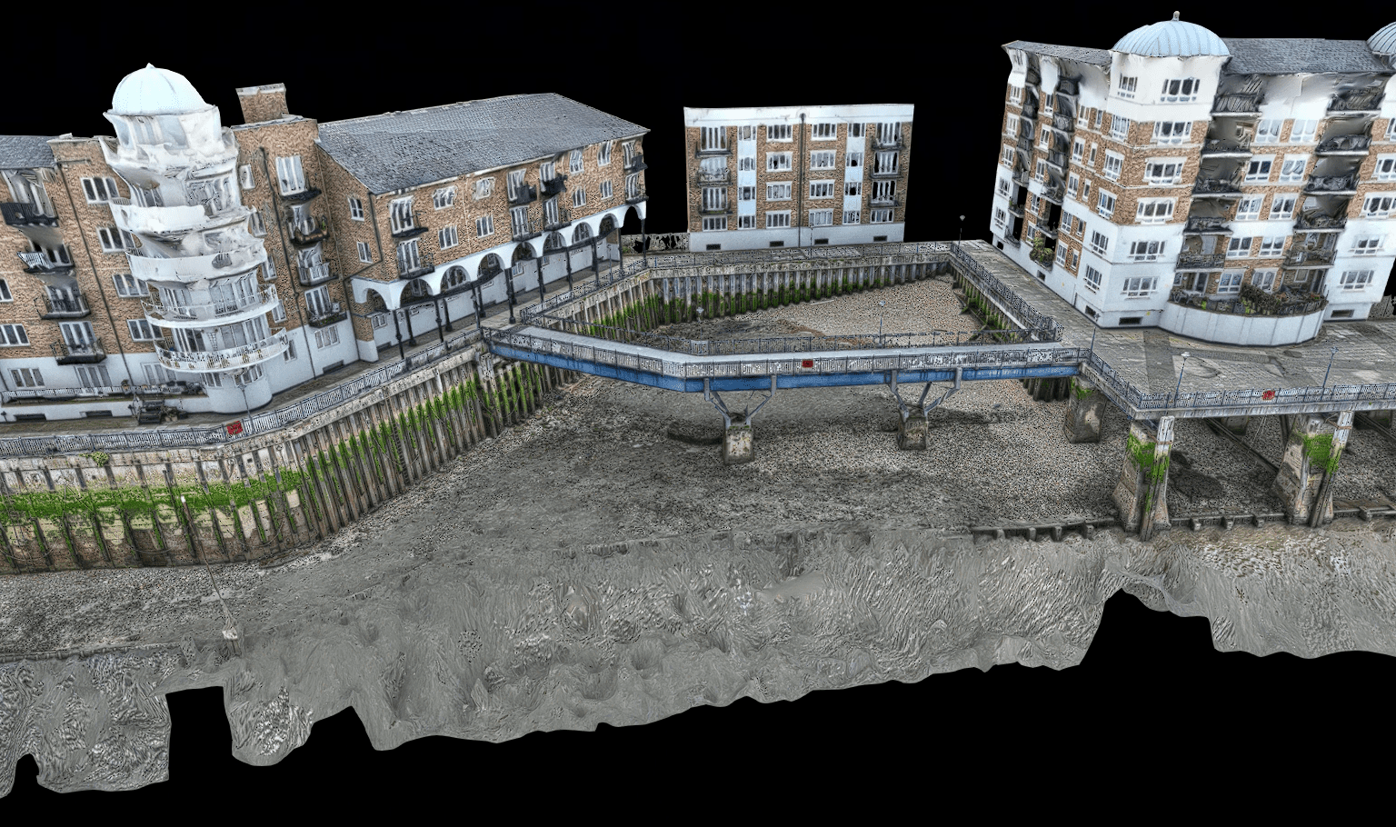
As experts within the field of digital scanning, we are specialists in creating 2D drawings, 3D models and 360˚ photo tours from digital scans of your property.
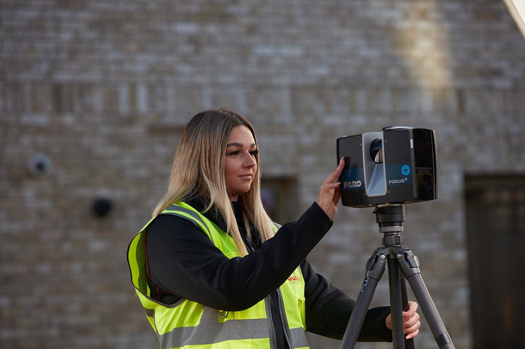
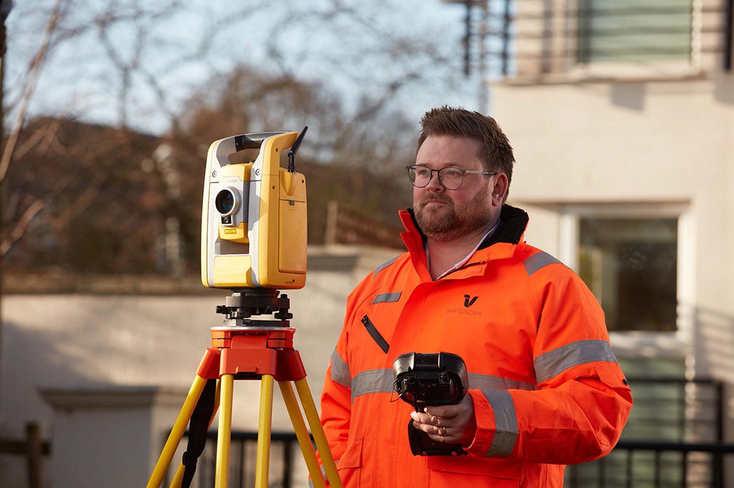
Our team of professionals are trained in using the latest scanning technologies, including terrestrial laser scanners, drones, cameras, and traditional survey equipment. With our expertise, we produce high-quality output and assist in creating an environment where work can be consistently documented and records maintained.
Virtuscan are experts in delivering reliable, high-quality digital scans for your environment. Whether it is a single dwelling, multi-occupancy residential skyscraper, commercial property or estate.
We use terrestrial laser scanners, drones, cameras and traditional survey equipment to map and document all buildings. This enables you to have a comprehensive dataset of your property.
As specialists in providing key data information in line with the Fire Safety (England) Regulations 2022, we use our expertise to help you meet the rapidly increasing need for up-to-date processes and site documentation.
With this cutting-edge technology, you can visualise your properties through easy-to-access records ensuring your operations run smoothly and in line with regulations.
As a result, we play a vital role in helping you to create an environment where work can be consistently documented and records maintained.
Our Services
Through the use of terrestrial laser scanners, drones, cameras and traditional survey equipment, Virtuscan enables the production of 2D drawings, 3D models and 360˚ photo tours for your use.
Laser Scanning
A surveying technique that employs laser light to capture precise 3D measurements of objects or environments on land.

Measured Surveys
Measured surveys will give you the required blueprint necessary for any project. Creating accurate plans for your project.
Topographical Surveys
Are essential for designing infrastructure projects, determining drainage patterns, identifying potential construction challenges, and assessing the suitability of land for different purposes.
Photogrammetry
A method of surveying and mapping that uses photographs to determine the exact measurements and positions of objects and terrain features.
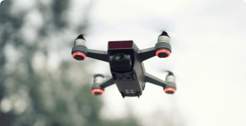
Drone Surveys
Drone surveys are unmanned aerial surveys conducted from above using drones. Using cameras & Lidar attached to drones…

360 Virtual Tours
Using state of the art virtual reality technology you can explore the copy of your building as if you were …

Fire Strategy Drawings
A key part of all building types. They are a regulated requirement and it is essential that you comply as a building owner, landlord or responsible person.
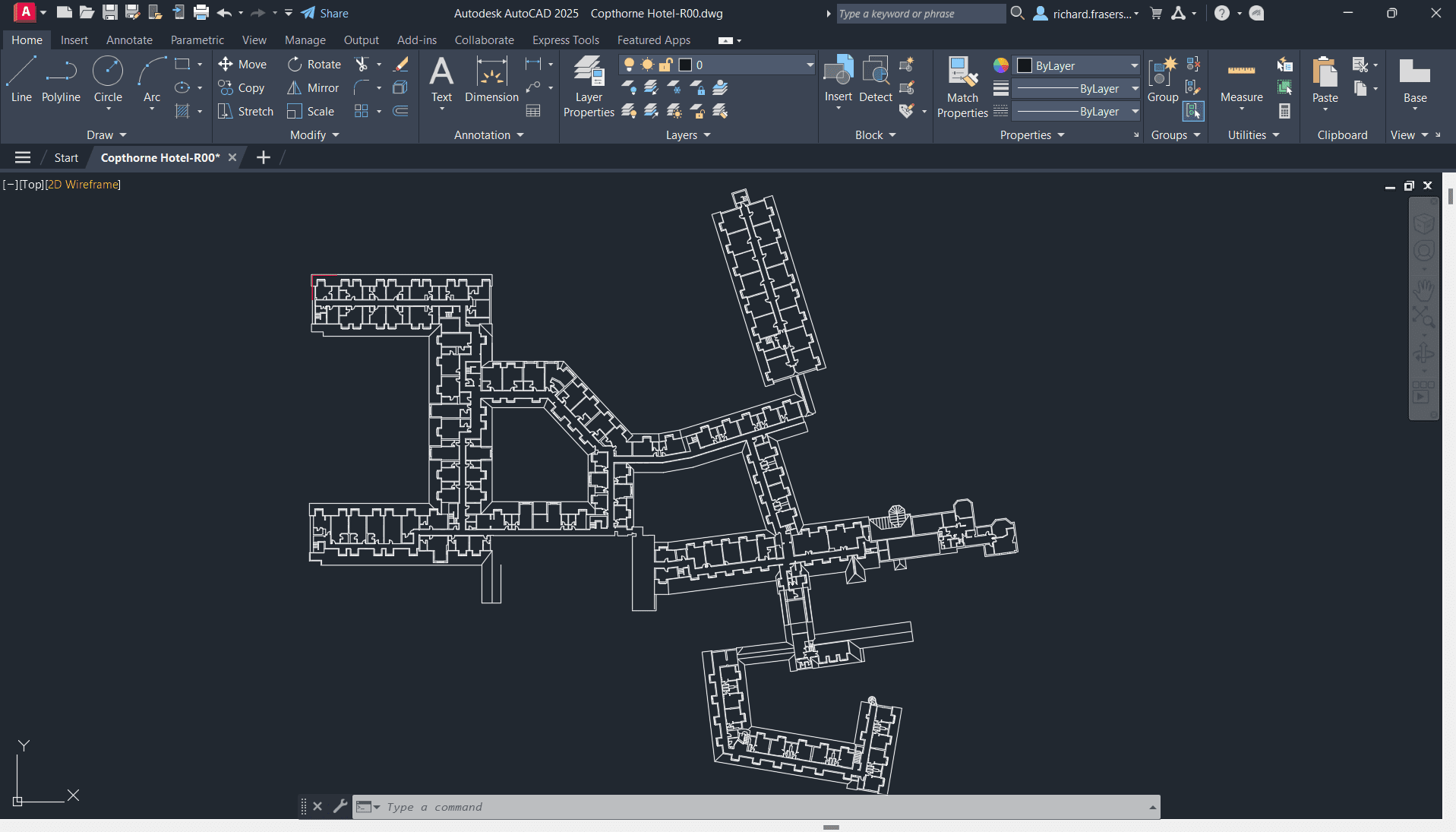
CAD Services
Including: Architectural Drafting, Engineering Drafting, Civil Drafting, Interior Design Drafting, As-Built Documentation, Revit Modeling & more…