Our Services
Topographical Surveys in London
Virtuscan delivers the most accurate depiction of your site by collecting data from your plot of land—dotted with natural and manmade features. Architects, landowners and developers can now make informed decisions by hiring our topographical survey service in London.
Have you engaged yourself in an infrastructure project? Perhaps you are planning a new housing development, or do you have a land registry submission ahead? Hire the best topographical survey service in London and gather the necessary data to help you with accurate designs and planning.
A Topographical Survey Near London – What’s Covered?
At Virtuscan, we provide wide coverage with our report highlighting:
- Fencing and boundaries
- Contours and elevation
- Naturally occurring land features
- Structural footprints
- Pathways, roadways, and access points
- Utility and drainage data
Virtuscan is ready to handle more complex projects and capture details such as adjacent site features. We also specialise in underground mapping and nail volumetric calculations, just as professionals in this field help accomplish.
Explore the Advantages of Topographical Surveys in London with Virtuscan
At Virtuscan, we know the complexity involved in developing a property or land. Through topographical surveys in London, we intend to provide a clear picture of the site you are working on. We also help spot potential issues related to drainage, uneven terrain, and space constraints. Timely identification can mitigate the risks of design errors, expensive surprises, and delays as the project advances.
Stay prepared for unforeseen circumstances with Virtuscan. We have helped many have a material impact on development by retrieving information. We look forward to delivering the same set of benefits to eliminate, for instance, the risks of delays when the local authority orders tree surveys at the time of planning application submission.
Practical Benefits of Booking Topographical Surveys in London for Your Development
- Determine the precise location to build new structures
- Prevent encroachment of sites beyond the boundary lines
- Allow repositioning of existing boundaries
- Pinpoint natural topographical features that obstruct planning
- Eliminate the risks caused by naturally occurring slopes and streams
- Discover unseen hazards—long-lost foundations of buildings
- Get guidance on positioning a proposed structure
- Seek opportunities to improve the value of your development
Why put your money and precious time at stake when you can get a complete picture of your site and identify the construction challenges ahead? Get in touch for topographical surveys in London and steer clear of complications arriving in the later stages of development.

Take your project to the next level with our
topographical surveys.
How We Conduct a Topographical Survey in London
When you book a topographical survey service in London from Virtuscan, expect the following:
- Assessment: We initiate the process with a simple assessment similar to 3D, measured, visual impact, and utility surveys.
- Initial Discussion: We will host a consultation with you to learn more about your site location, type, goals, expectations, and approach.
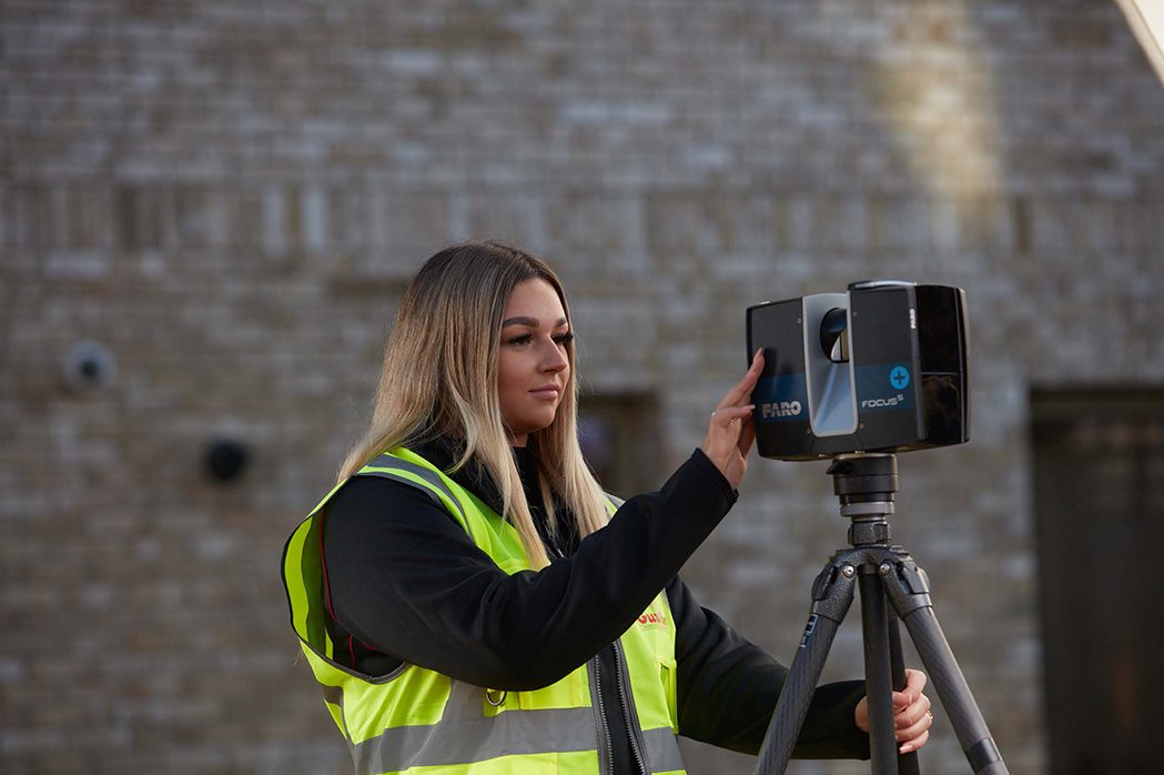
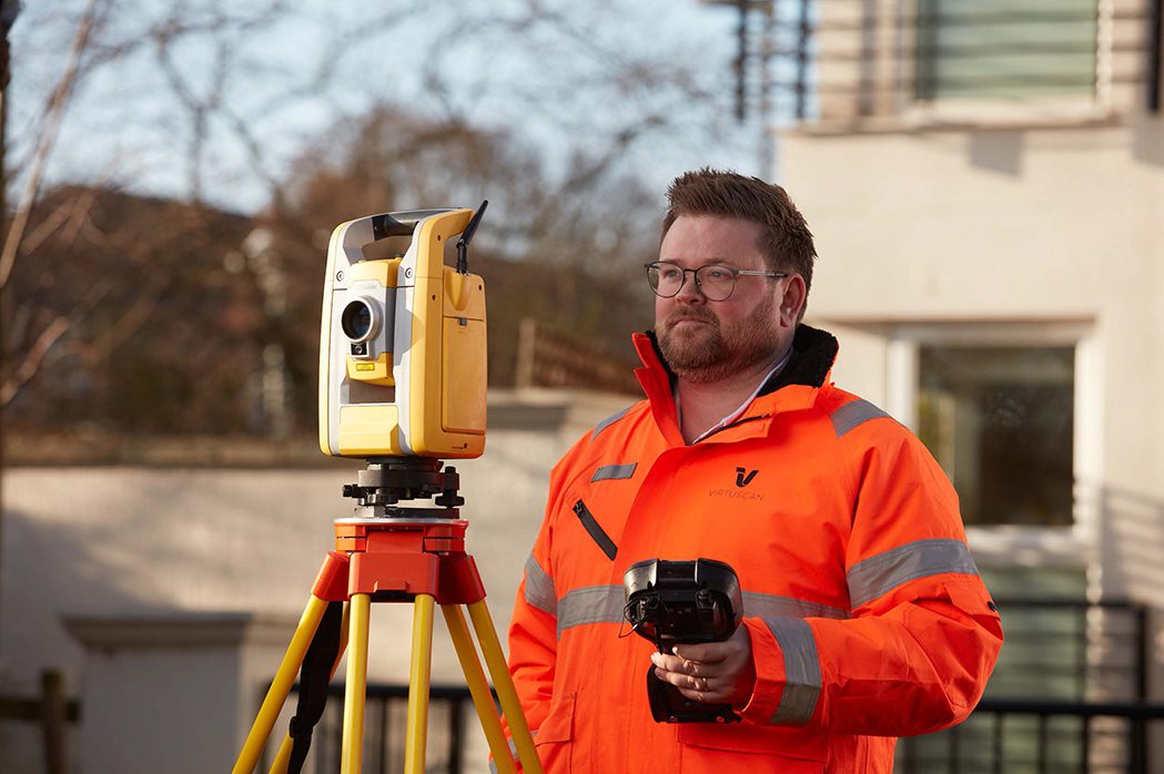
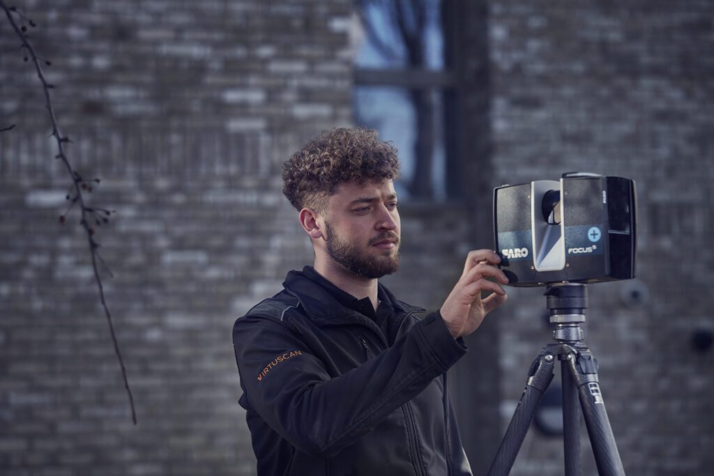
- Site Visit: We visit your location well-equipped with specialised tools of the trade, including an accurate GPS device, site levels, cameras, laser scanners, and total stations.
- Data Collection: We prepare to create an accurate map of your site by capturing and using precise site data, best-fit measurements, and datum information.
- Overcome Site-Specific Challenges: A site arrives with its own set of obstacles, both natural and manmade. Steep slopes, unsafe structures, offshore islands, roads, and buildings are a few examples. We employ drones and remote sensing tools to map them.
- Additional Data Collection: We procure supplementary information through local authority records and Ordnance Survey maps.
- Design Stage Planning: We facilitate design-stage planning through CAD-compatible data and precise land measurements.
- Conversion of Data into Drawings: Our specialisation in point cloud technology enables our surveyors to translate data into detailed drawings. We typically deliver them in 2D, 3D, and PDF formats, representing traditional maps, topographical details, and reference points.
Hire us for topographical surveys near London for our no-nonsense, quick, and reasonable surveys channelled towards professional and private clients.
We are a trusted team responsible for conducting topographical surveys in London to facilitate property or land development. Find a solution for every project, given our proven track record, years of industry presence, and our commitment to delivering a top-quality service.
Witness an Easy Conversion of Contours into Accurate Calculations with Virtuscan!
The most precise and cost-effective topographical survey services in London can be availed at Virtuscan. Reach out to our team of expert surveyors and share your site details. We assure you of expert and bespoke solutions to fulfil your project requirements. Expect us to complete the job while maintaining efficient turnaround times, accuracy, and quality.

