Our Services
Reliable Drone Surveys in London
We provide accurate aerial insights through efficient, affordable, and dedicated drone surveys and mapping, helping businesses simplify operations, monitor assets, and make knowledgeable decisions for better management and growth across various industries.
Our London-based drone survey company provides fast, precise aerial and Geo-Spatial solutions. We specialise in drone inspections, 3D mapping, and more. Backed by expert teams and reliable equipment, we deliver high-quality results for projects of all sizes.
What’s Involved in Our Drone Survey?
What’s Involved in Our Drone Survey?Virtuscan’s drone surveys in London involve a selection of wonderful options that you may be looking for.
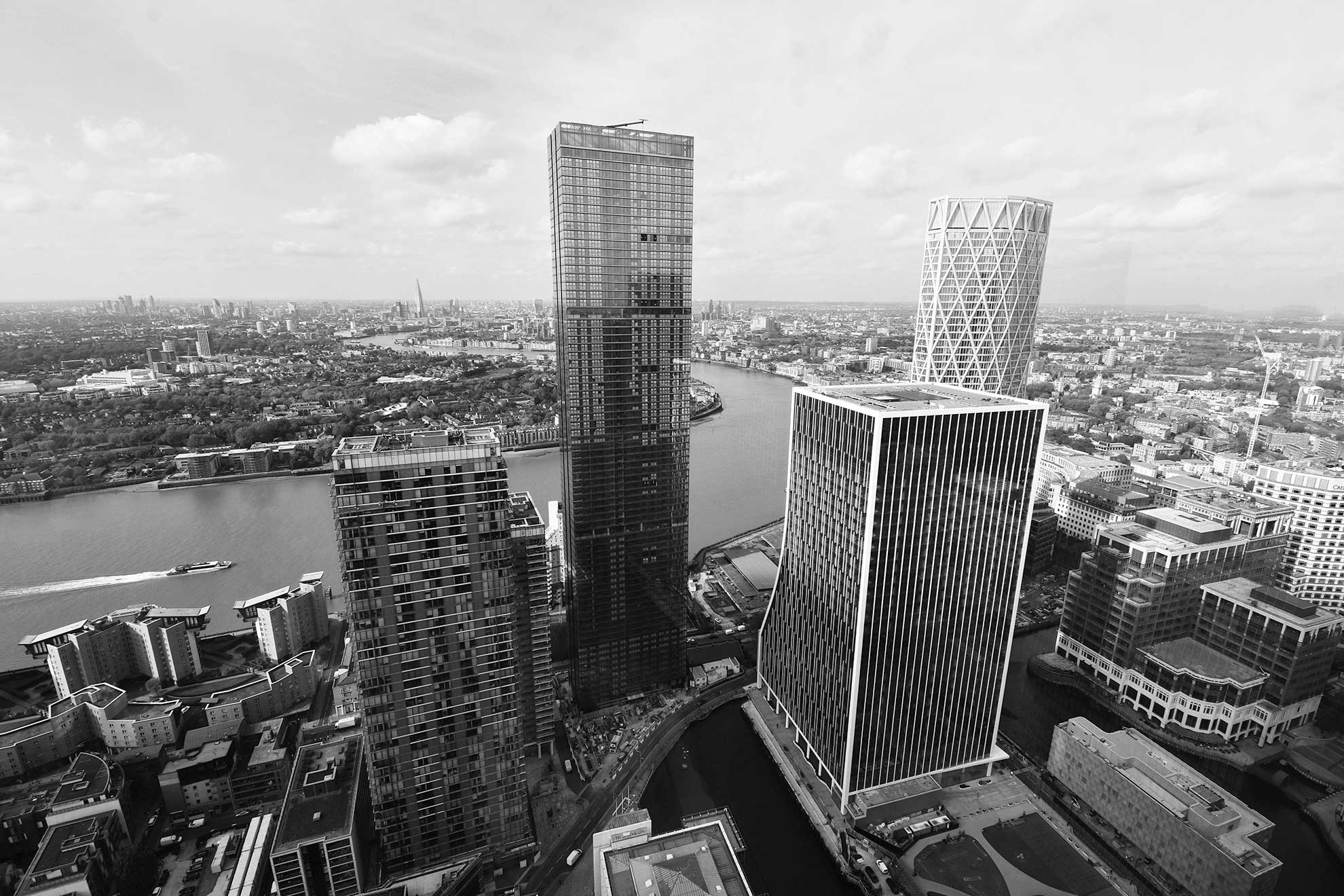
- Aerial view: Provides a detailed aerial perspective of the site and surrounding areas.
- High-resolution imagery: Captures sharp images for mapping, surveying, and inspections.
- Faster data collection: Speeds up data gathering and analysis compared to traditional methods.
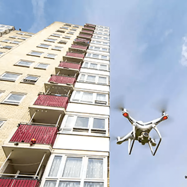
- Remote access: Reaches difficult or unsafe areas without the need for physical access.
At Virtuscan, we are ready to take on more complex projects. Our professionals are trained, knowledgeable, and extraordinarily experienced.
Why Virtuscan Leads the Way in Drone Surveying in London?
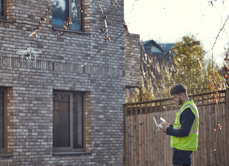
Virtuscan has become increasingly popular for two reasons: the first is our experienced professionals, and the other is the technology of drones that we use. Our surveying drones are equipped with cameras and sensors to capture aerial images tagged with precise geo-coordinates.
These images are validated using different processing methods to guarantee spatial accuracy. A single drone flight of our company can gather hundreds or even thousands of images, which are stitched together using photogrammetry software to produce geo-referenced orthomosaics or 3D models. These models offer detailed insights into distances, elevations, volumes, and inventory.
When conducted regularly, our drone surveys let teams compare maps with previous surveys or design files, making it easier to track progress and changes with confidence.
Save Time and Money with Virtuscan’s Cost-Effective Drone Surveys
As operational costs continue to rise across industries, businesses are actively seeking more affordable and efficient ways to carry out essential tasks. If you’re in the same boat, here’s some good news: Virtuscan, a leading drone survey company in London, offers a cost-effective solution that doesn’t compromise on accuracy. We are aware that the choice of approach can affect your project schedule as well as your budget. So, we always make sure we choose the method that fulfils the needs of your project and doesn’t exceed your budget.
Traditional surveying methods are often more expensive and time-consuming. They call for extra field hours, tools, and labour. Conversely, our drone surveys provide a reasonably priced substitute free of accuracy loss. Our drones produce consistent outcomes at a fraction of the cost using fewer resources, shorter turnaround times, and high-resolution data output.
Working with us also avoids the need to hire large teams or deploy workers into risky areas. Best of all, our drone surveys provide comprehensive and detailed insights faster than conventional methods.

Take your project to the next level with our
drone surveys.
Top Reasons Virtuscan Leads the Way in Drone Surveying
The unmanned aerial vehicle (UAV) industry is growing rapidly, with drone technology being widely adopted across the globe. While many drone companies now operate in London, working with the right service provider is key to achieving your project goals. We, Virtuscan, are recognised as one of the best drone companies that have been working in this industry for a long time. The following are the reasons why we are one of the best.
Powered by Advanced Technology
The precision of a drone survey depends on the tools used. Our top-tier providers employ cutting-edge drones with high-resolution cameras, sensors, and more.
Ground-Based Survey Experience
Experience in ground-based surveys adds valuable depth to a drone surveyor’s skill set. Our professionals have years of experience in this; that’s why their ability has been enhanced when it comes to interpreting aerial data accurately and applying diverse surveying techniques.
Resources, Experience, and Workforce
When it comes to drone surveys in London, having a strong track record matters, and that’s exactly what Virtuscan offers. If you look for testimonials and references, you will get to see how reliable we are and what a great performance we have been providing. We have the skills, capacity, and resources to meet your requirements and deadlines. We can deploy crews and equipment across multiple locations if your project demands it.
Post-Processing and Final Output
An important aspect to consider is how post-production is handled. Raw drone footage often differs from the final, polished output. We offer high-quality editing utilising specialised software that ensures flaws are corrected and visuals are professionally refined.
Our drones feature an ergonomic design and have been tested in extreme weather conditions and high altitudes across London, guaranteeing reliable performance in some of the most challenging environments.
Get Reliable, High-Quality Drone Surveys with Virtuscan
Virtuscan offers some of the most accurate and cost-effective drone surveys in London. Simply share your site details with our experienced surveyors, and we will provide bespoke solutions tailored to your project requirements. We pride ourselves on delivering quality results with precision, efficiency, and quick turnaround times, guaranteeing your survey is completed to the highest standards from start to finish.

